www.snehakinetic.com

The Project

ABOUT SIKKIM


Sikkim is a small state located in the North East Himalayas. It is surrounded by vast stretches of Tibetan plateau in the north, Chubi valley of Tibet and the Kingdom of Bhutan in the east, Darjeeling Gorkha Hill Council in the south and Kingdom of Nepal in the west. The total area of Sikkim is 7096 sq km with a population of 4,06,457 (as per 1991 Census).


Sikkim is divided into four districts – North, South, East and West. Eastern district that includes the capital Gangtok is the most populated followed by Southern and Western districts. The Northern district is sparsely populated in view of inclement weather and steep ridges. Sikkim is known for its scenic beauty, historic past, religion and sublime monasteries. It is a place of tourist attraction. The maximum distance from North to South of Sikkim is about 112 km whereas the maximum distance from East to West is about 90 km. The altitude above MSL varies from EL 213m in the south to about EL 8600m in the north. Mount Kanchenjanga, the third highest peak in the world, with its snow-covered peak at an El 8600 m is located in the northwestern part.


Sikkim comprises very high mountains and nearly two thirds of its area covered with snow from major glaciers like Zemu, Chamsang, Lhonak and Talung apart from several other minor glaciers that descend into the State. It is observed that the project area of Dikchu H.E.P has a nominal contribution from snow melt of glaciers and that too only in the upper reaches.


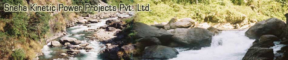
Sikkim is drained by number of perennial rivers out of which Teesta and Rangit are the main rivers. Rangit joins Teesta near the border of Sikkim and West Bengal at Meli.


PHYSIOGRAPHY & LAND USE


On the basis of physiography, the whole state can be divided into 6 zones –
1) Summits and Ridges;
2) Side slopes of hills;
3) Narrow valleys;
4) Cliff and precipitous slopes;
5) Zone of glacial drift; and
6) Perpetual snow cover.


The entire state is a young mountain system with highly folded and faulted rock strata at many places. The Daling group of rock is found in the central part of Sikkim and composed of phyllites, schists, slates and quartzites. The northern central part of West Sikkim is chiefly made up of Darjeeling gneiss. The gneiss of South Sikkim is highly micaceous and frequently passes into mica-schists. The younger Gondwana contains sandstone, shale and carbonaceous shale with occasional thin coal bands.


Forest is the main land use in the State. About 40% of the geographical area (reserve + private) is under varying forest density cover followed by alpine barren land, snow and glaciers. The cultivated land is approximately 11% of the total geographical area and is confined to altitude lower than 2000m.


CLIMATE AND VEGETATION


Sikkim experiences variable temperature with scorching summer at the foothills to freezing cold in winter on high mountains. Rainfall occurs throughout the year and the State as a whole receives 80 to 90% of the annual rainfall in the north-east, receiving about 65% of the total rainfall during monsoon (May to September). The mean annual rainfall varies substantially from 840mm to 5000mm with heavy precipitation of snow on the higher reaches and the Greater Himalayas.


Botanical zones ranging from tropical to alpine are found in Sikkim. This is due to its geographical position, climate and altitude. Sikkim is renowned for its Rhododendrons, Orchids and for high altitude Primulas, Meconopsis and Blue poppies. The State is a veritable storehouse of medicinal and economically important plants and herbs.